

PGR2020 route checking, ridden in June/July 2020. The route is consistent, rideable and suitable to gravel or trekking bikes. Most of the trail runs along paved, gravel and asphalt roads. There are several kilometers of dirt (unpaved roads).
Link to the final route: pgr.kolo-ultra.pl/route
Przemyśl
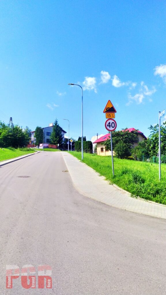
Poland Gravel Race 2020 adventure starts in Przemyśl. The start line is located at Niepodległości Square, and then we go along Franciszkańska Street. After the first turn, into Asnyka Street, we start the 1.5-kilometer climb to Tatar Mound.
The entire route runs on public roads. You must follow road traffic regulations and traffic organization established by local road managers.
Przemyskie Foothills and Sanocko – Turczańskie Mountains
The route runs initially between the forts of the Przemyśl Fortress. We cover the Kopystańki range and go down to Brylińce. Here, a change compared to the original version – we ride the forest road to the village of Koniusza and then the panoramic road towards Gruszowa.
After passing the ford a few kilometers of gravel road climbs through the forest, then an asphalt driveway to Arłamów. There we turn towards Połoninki Arłamowskie and pass it on the left and go down to Kwaszenina. Later along the asphalt road to Jureczkowa, from where we jump over a forest gravel road through the Chwaniów range to Ropienka. We travel through the Sanocko-Turczańskie Mountains, sometimes on asphalt and sometimes on gravel. The end is by the large Bieszczady ring road to Czarna.
Keep in mind the firs grocery store on route might be at 96 km. Take care of the water supply.
Initial climb from Przemysl 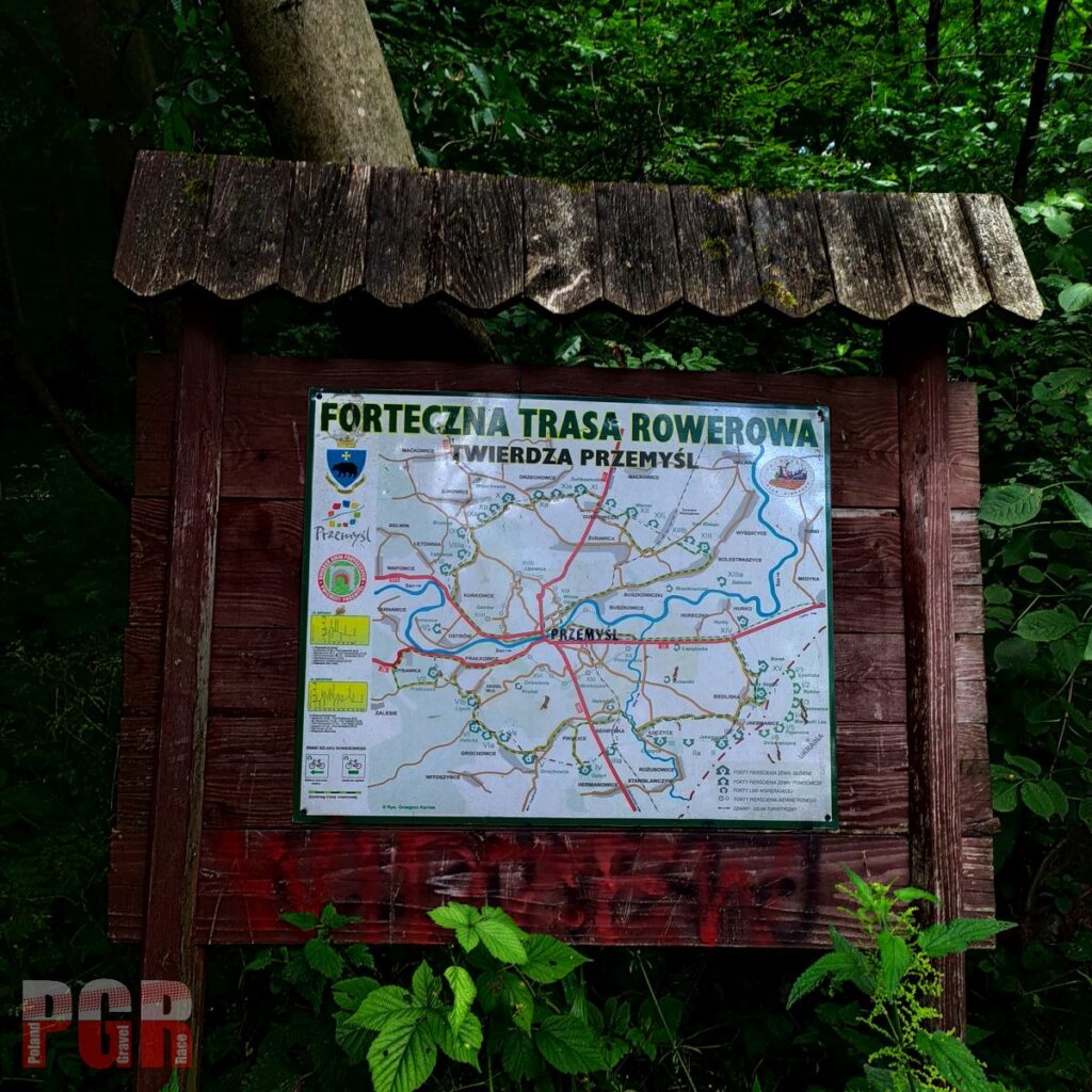
Przemyśl Fortress 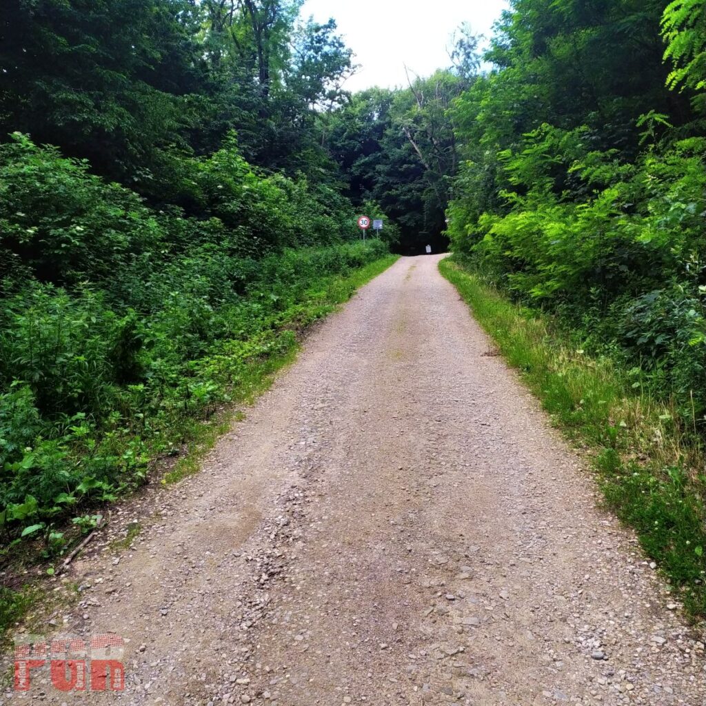
First kilometers 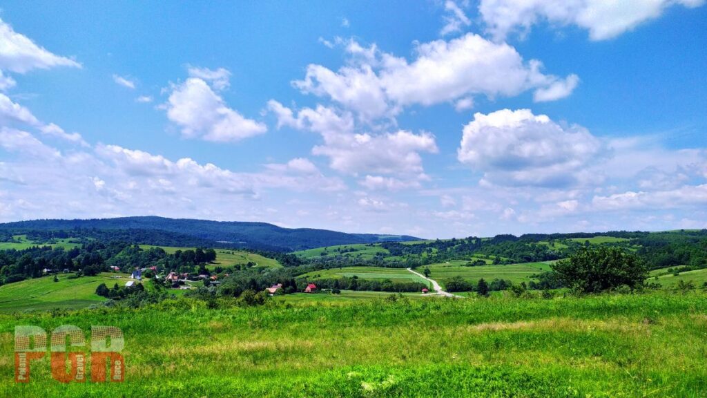
Panoramic view near Gruszowa 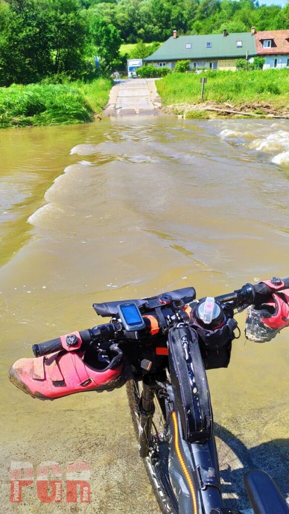
Ford on Wiar river 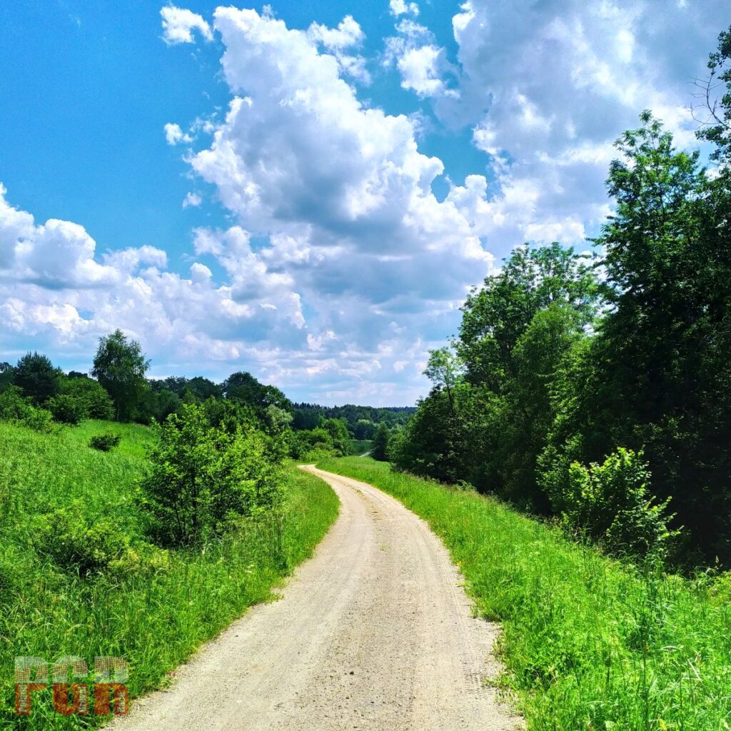
Gravel road from Arłamow to Kwaszenina 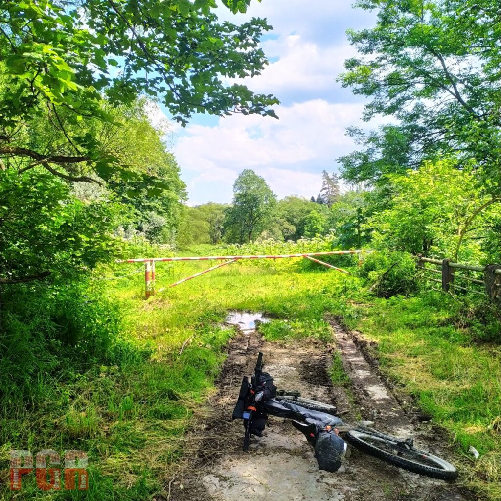
Wrong way 
Ring road around Bieszczady Mountains 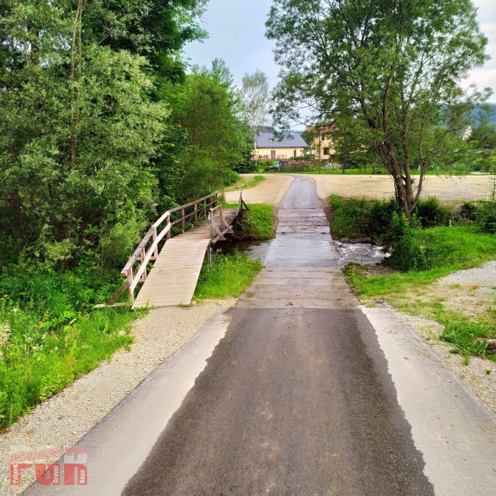
Sometimes it’s hard to decide – ford or bridge?
Bieszczady Mountains
Typical Bieszczady forest roads are broken stone and tumbledown asphalt. We pass at the foot of Otryt, along rivers of San and then Wetlinka. In Smerek starts one of the coolest gravel roads on the route. Almost twenty-kilometer section begins with an unobtrusive uphill stretch, which imperceptibly turns into a long, not too steep descent to Majdan near Cisna.
From Majdan we have a 6 km asphalt ascent to Roztoki Górne and further west along the slope to Solinka. Here, an interesting part of the route, Special Section Balnica, runs along the tracks of the Bieszczady narrow-gauge railway. As soon as the paved finish ends, it is best to go straight to the track (if you follow the track you will hit it without any problems). Note – the railway is in use, locos run probably 2 times a day, but when approaching, get out of the way;)
At the end of the Bieszczady section, we have an ascent to the Żebrak Pass and then four fords on the Osława River between Mików and Duszatyn. Next, the border between the Eastern and Western Carpathians and we begin our journey through the Low Beskids
The restaurant Latarnia Wagabundy at Wola Michowa – 10% off for all PGR riders.
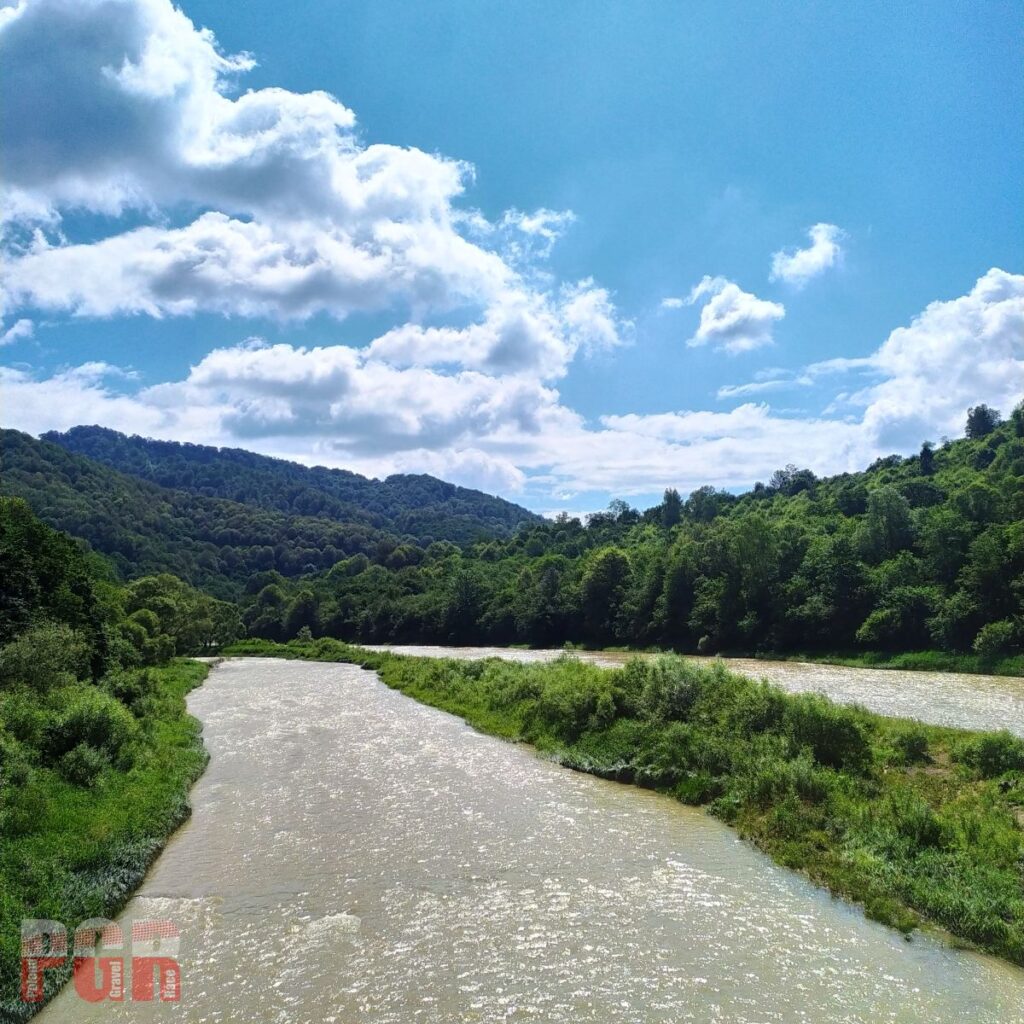
San river 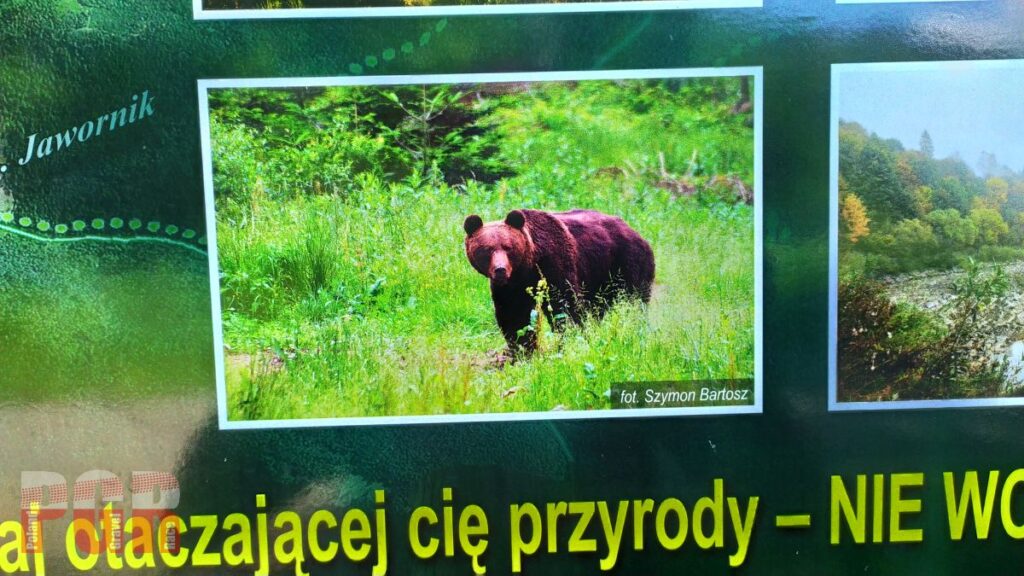
Try to avoid close contact 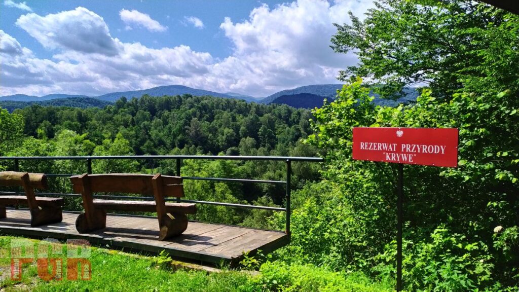
Krywe reserve 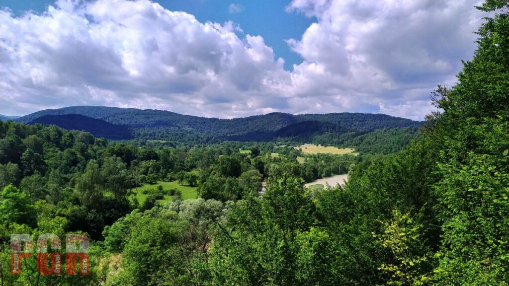
Krywe reserve 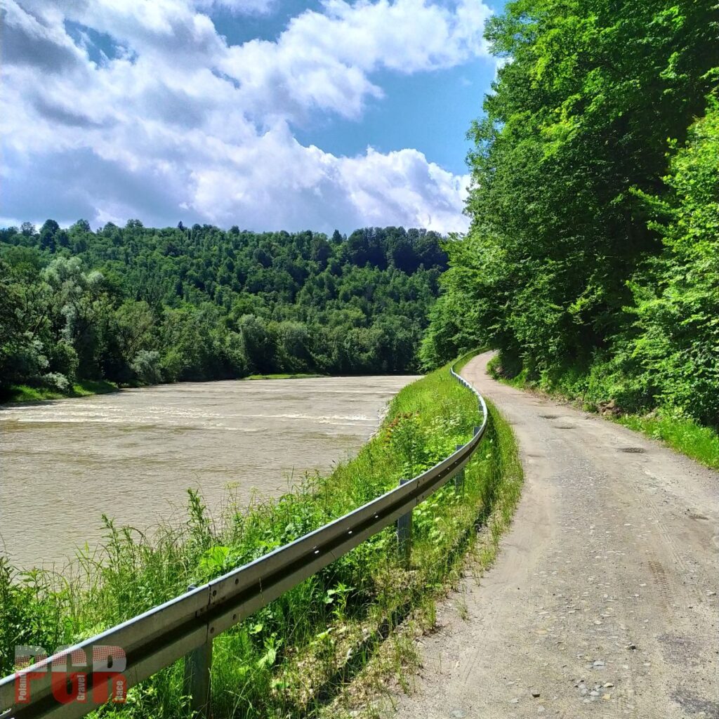
This view will be behind your back 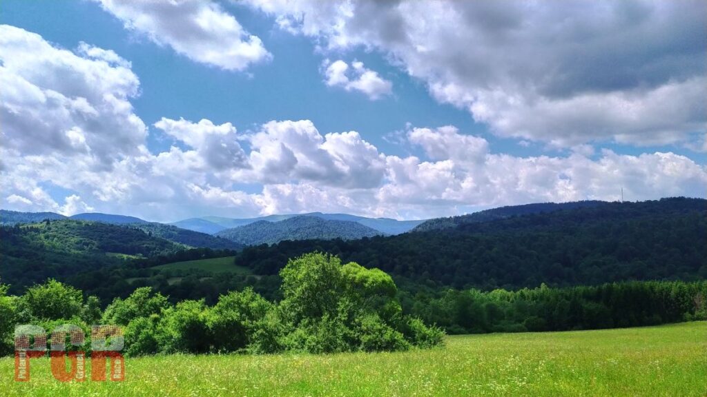
Bieszczady meadows 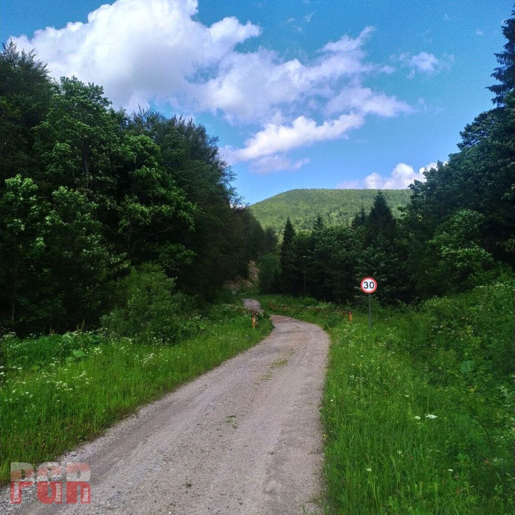
Smerek – Majdan gravel road 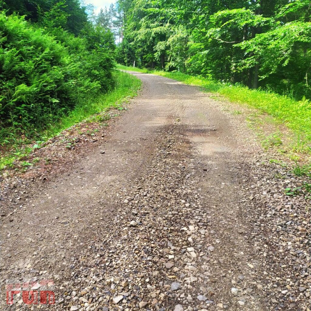
Smerek – Majdan gravel road 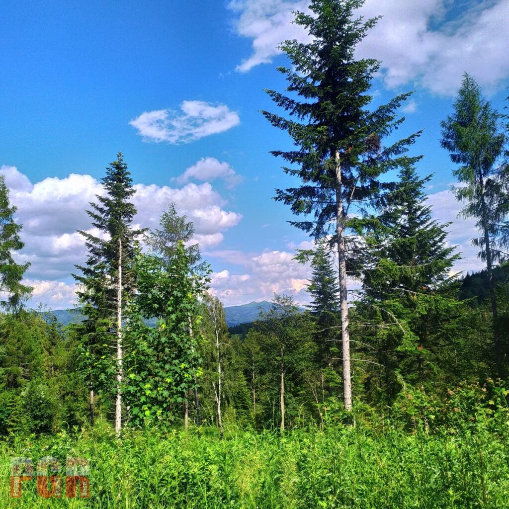
Caryńska Meadow 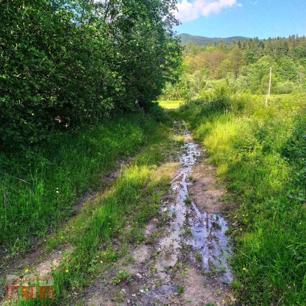
SS Balnica – to the railway 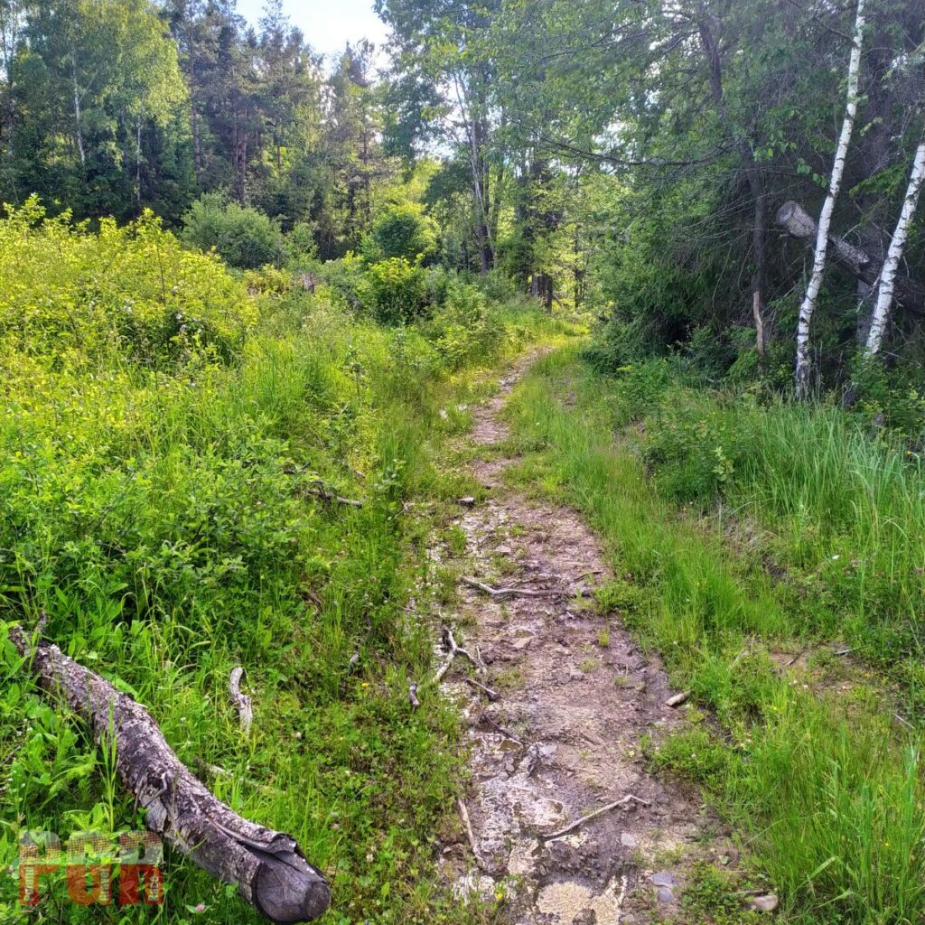
SS Balnica – to the railway 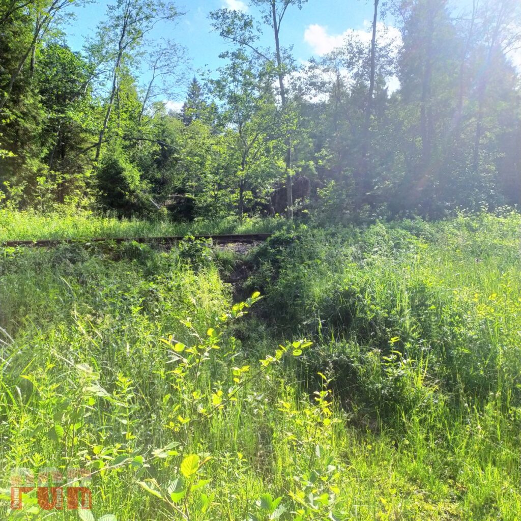
SS Balnica – to the railway 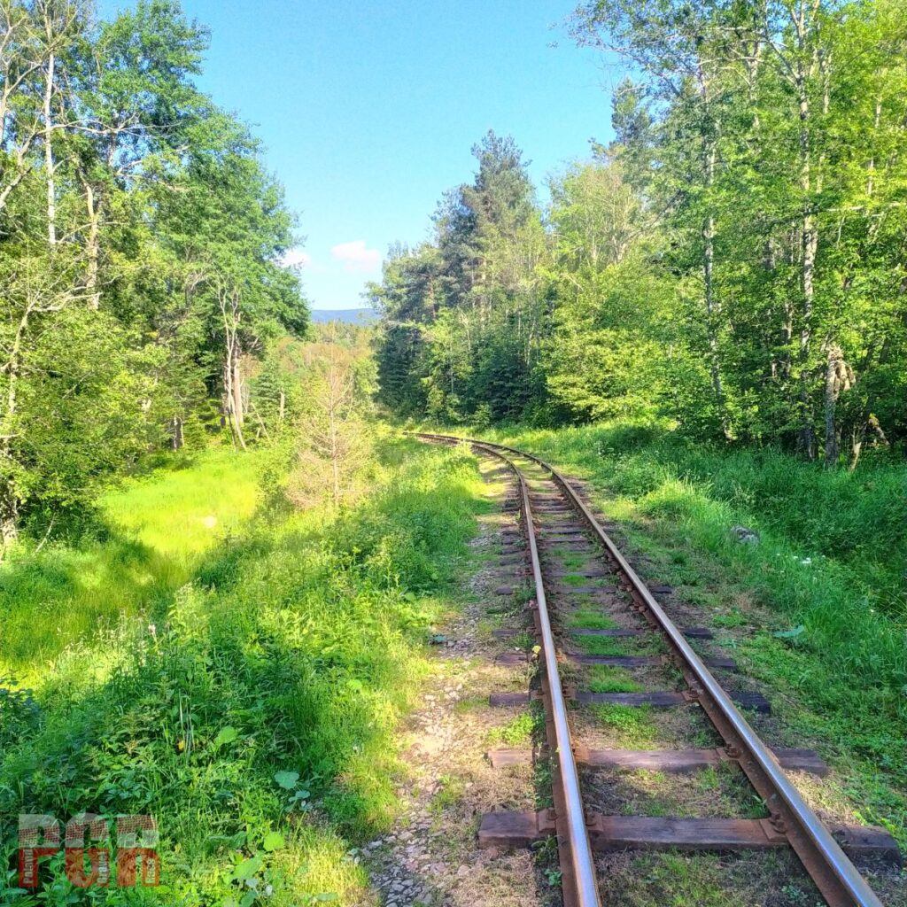
SS Balnica – to the railway 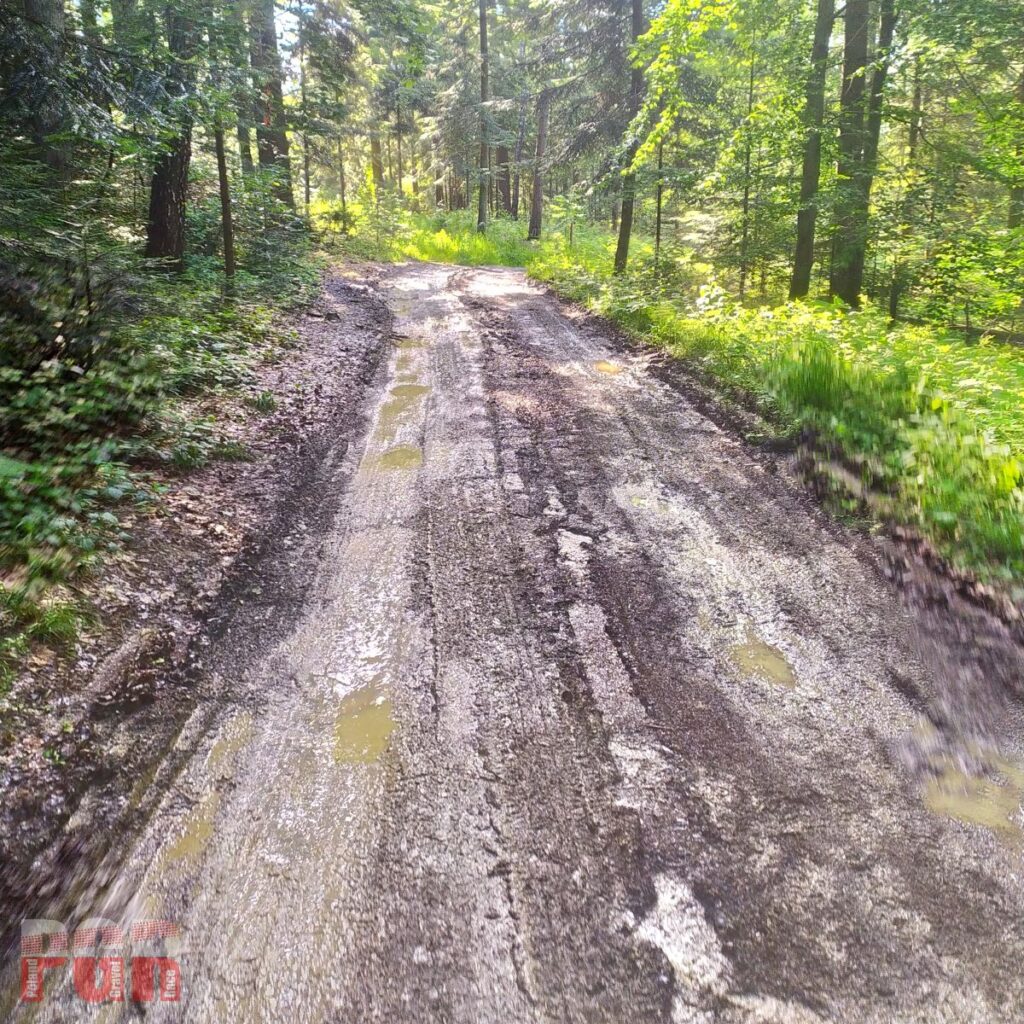
SS Balnica 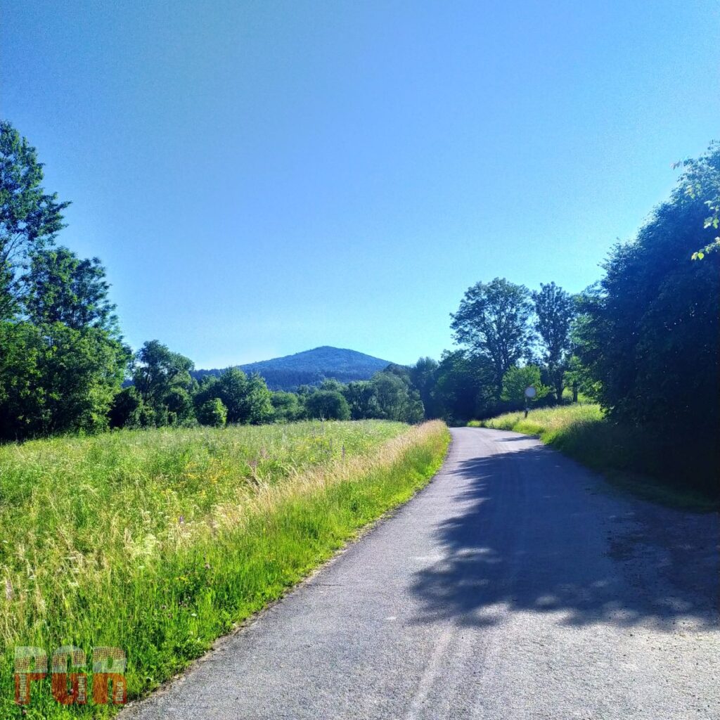
Chryszczata 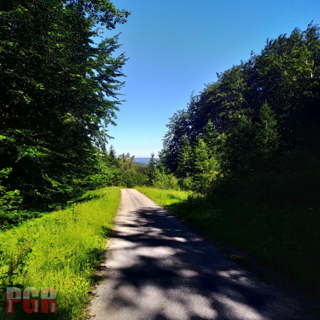
Descent from Żebrak Pass 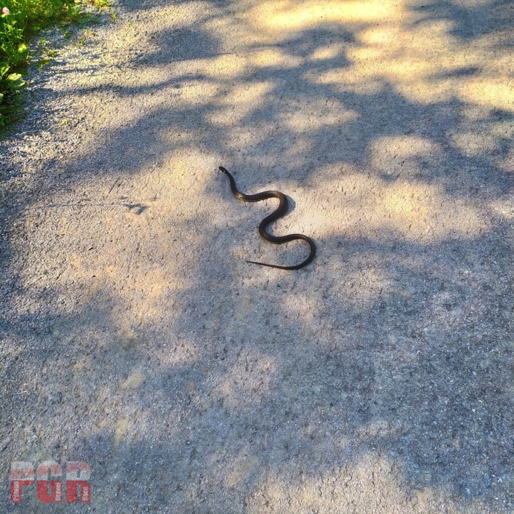
Watch out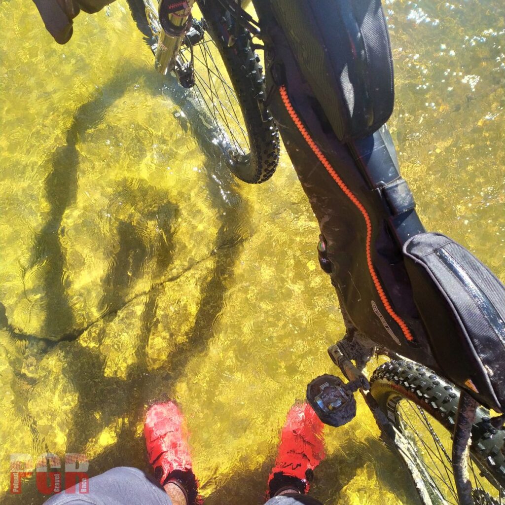
Fords on Osława river 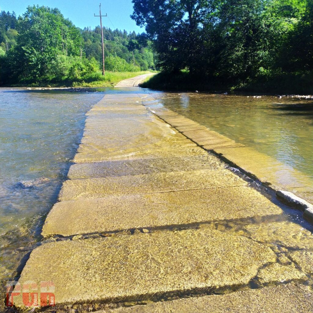
Fords on Osława river 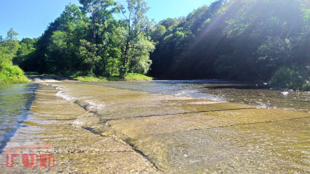
Fords on Osława river 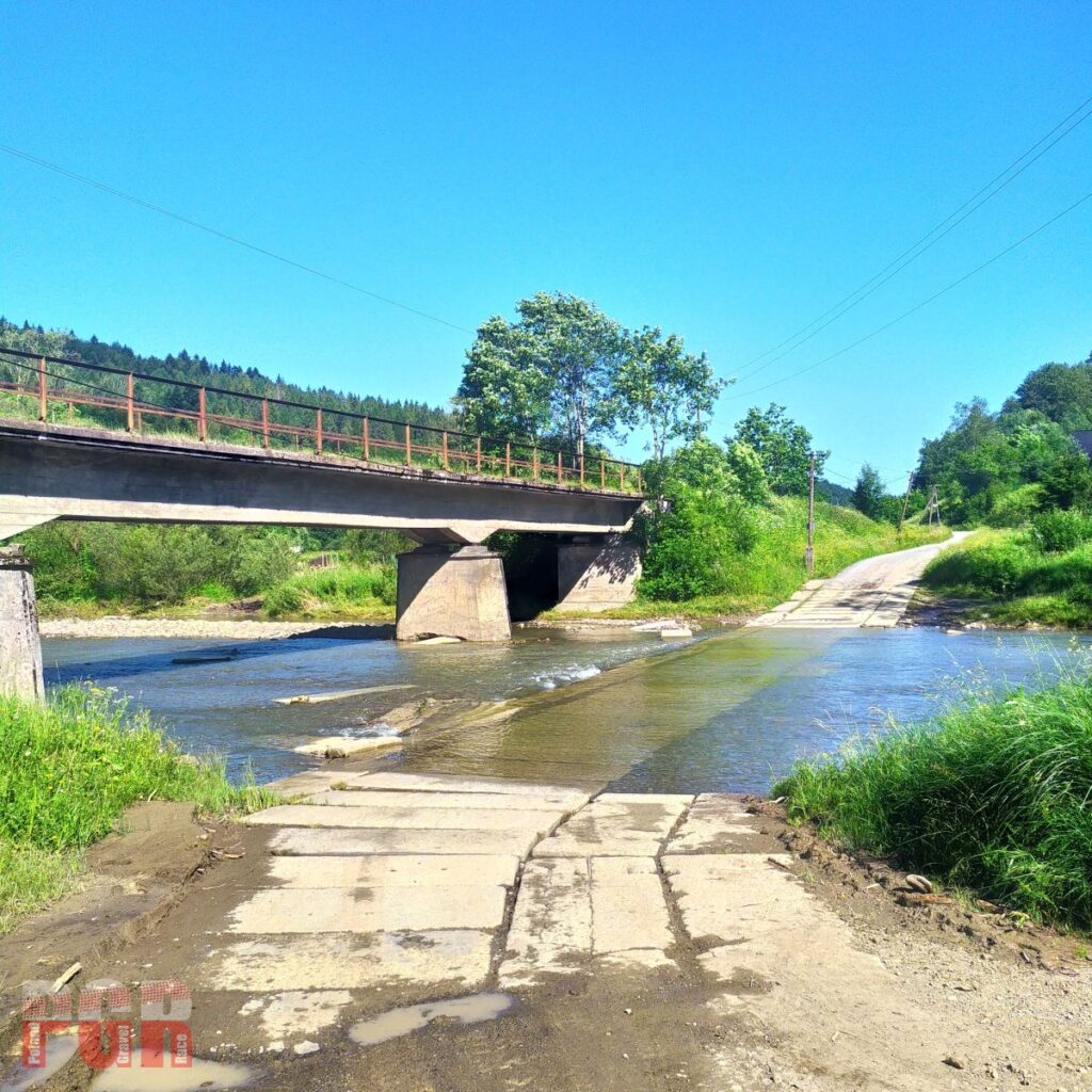
Fords on Osława river 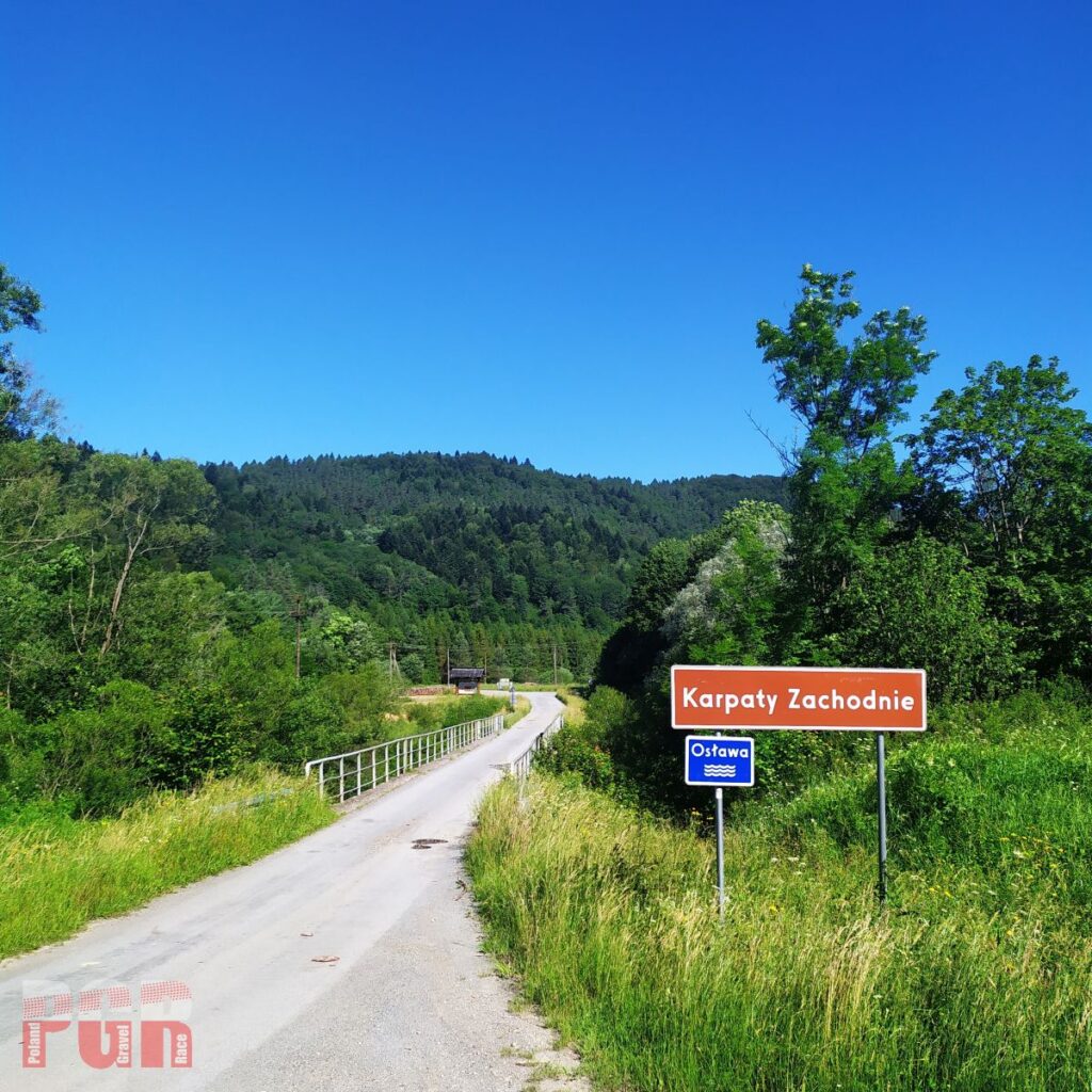
Leaving Bieszczady, heading for Low Beskids
Bukowskie Foothills and Low Beskids
A few kilometers from Komańcza along an asphalt road. In Wisłok Wielki we turn into the Bukowica range, where we have a six-kilometer uphill ride, but then a quick eight-kilometer downhill. We return to DW987 and turn north through Polany Surowiczne and Góra Polańska into the Wisłok valley. This is the foothills so the climbs are not very long but steep. And there are several of them. As a reward, several viewpoints. Przymiarki (294.5 km) with a panoramic view of the Cergowa Massif in the south-west and a view of the Strzyżowsko-Dynowskie Foothills and the Jasielsko-Sanockie Doły in the north are especially worth recommending.
We enter the Low Beskids on the recently renovated Krempna – Ożenna road. It has lost its entire character. Further from Wyszowatka to Banica we follow the trail of non-existent Lemko villages. From Góra Banicka to Małastowska Pass, as suggested by organizers of Hawran (orienteering event), the route runs along the blue trail and favors those of you who choose rather wider tires;)
Watch out for loose stones and gravel on descents, “harvesters” or other foresters’ vehicles on forest roads and barriers at entrances and exits from these roads .
Bukowica range 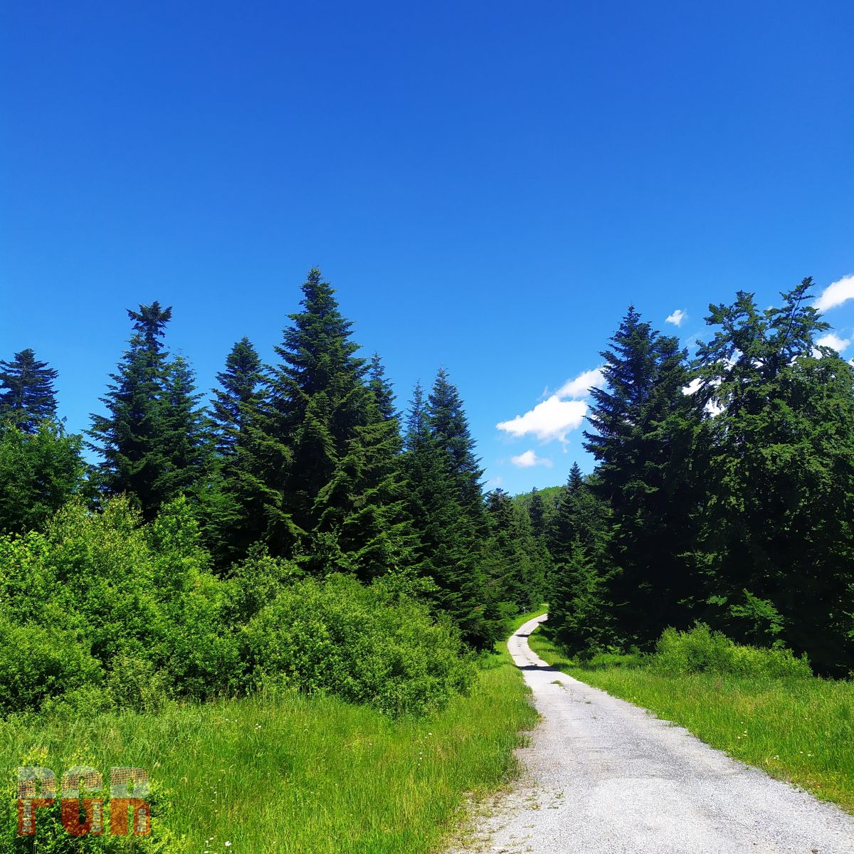
Bukowica range 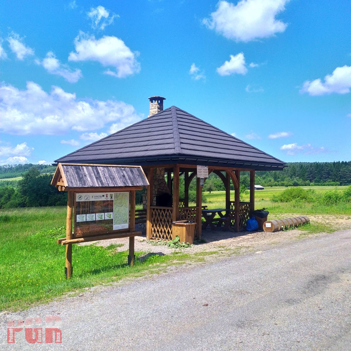
Along the route 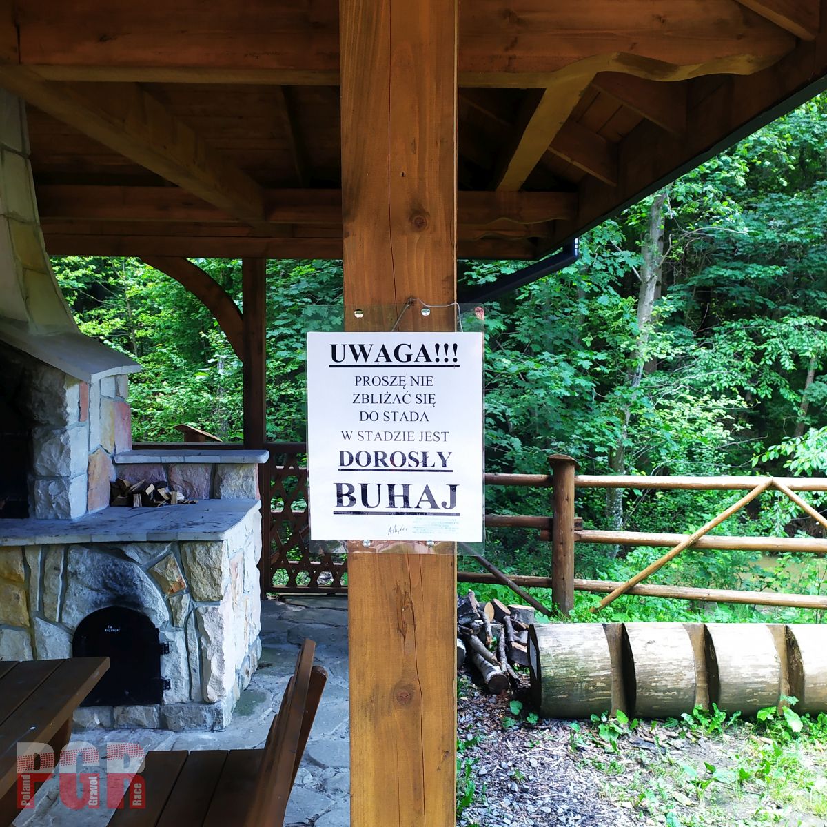
Watch out! 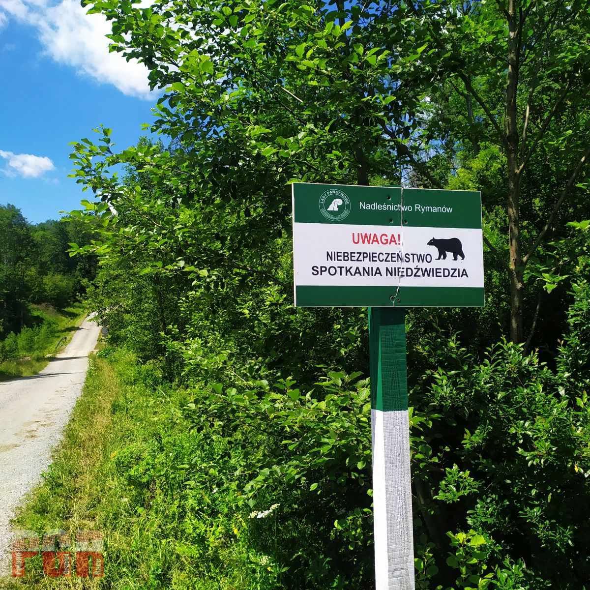
Watch out! 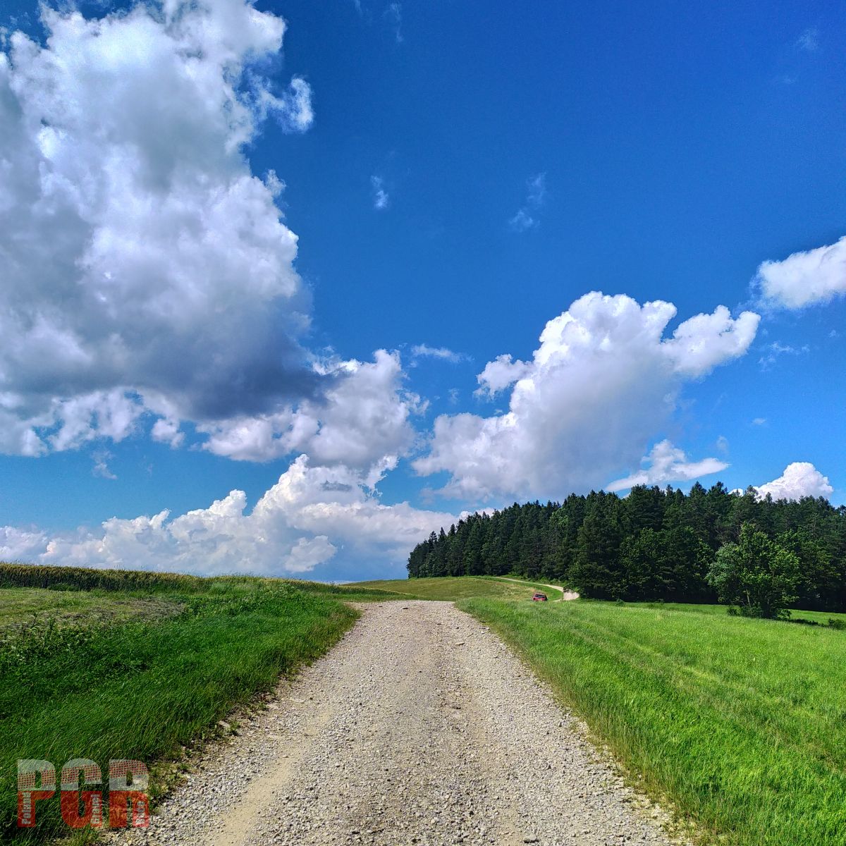
Rymanow Hills 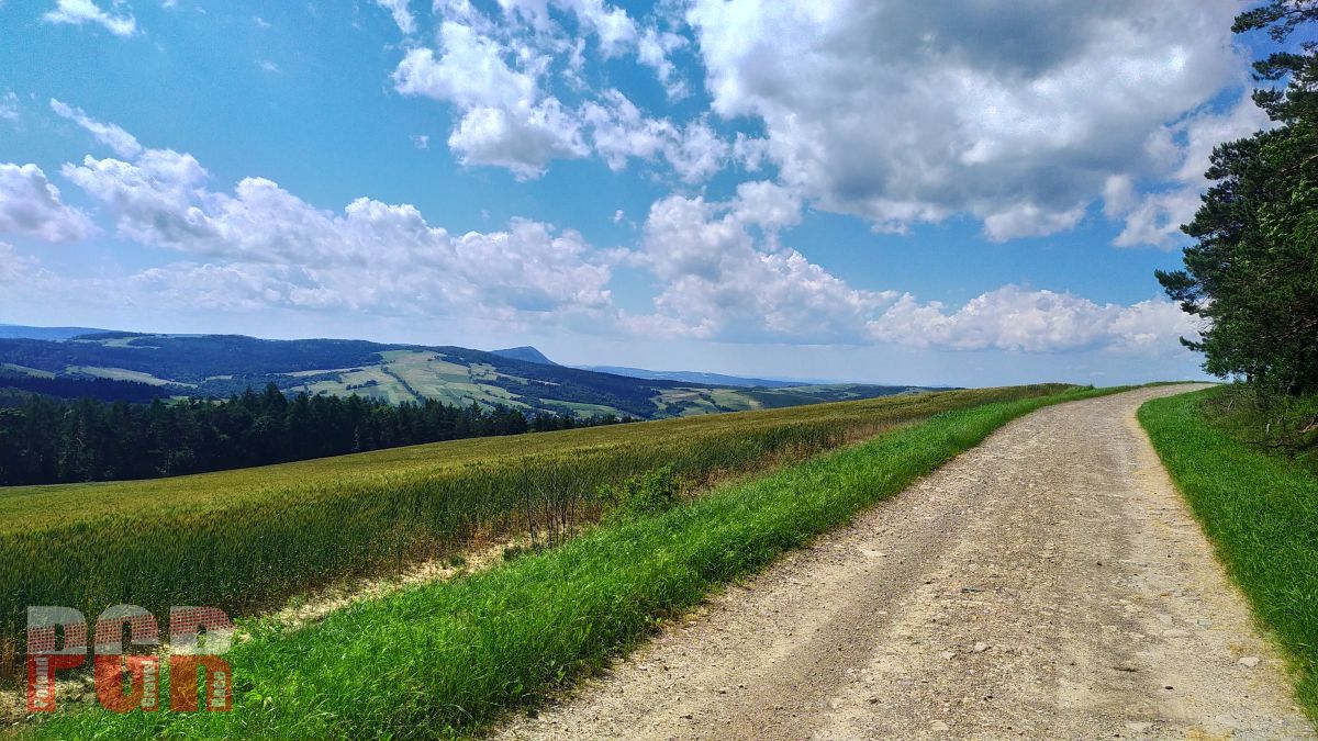
Rymanow Hills, Cergowa Massif in distance 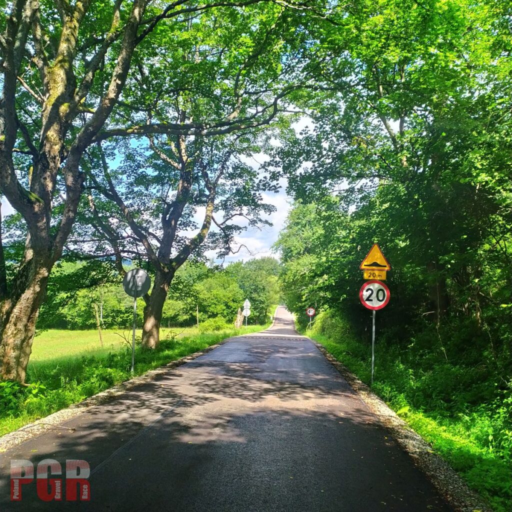
From Krempna to Ożenna. Devastation by renovation. 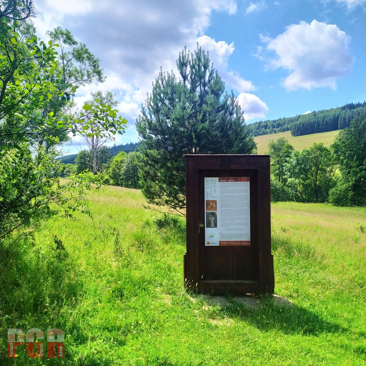
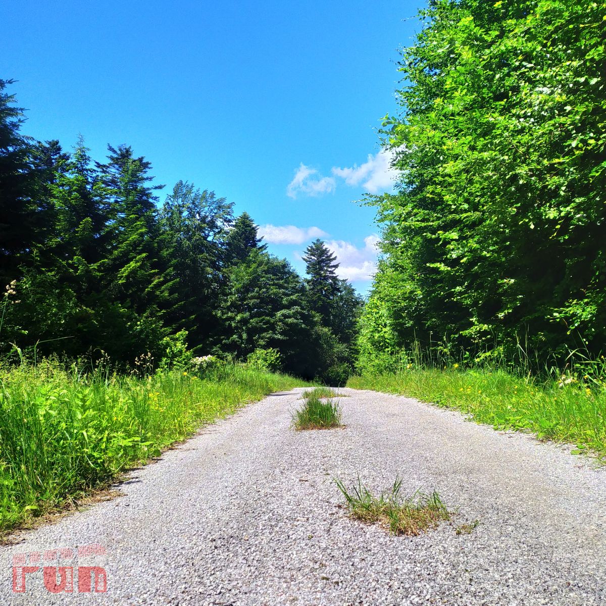
Low Beskids 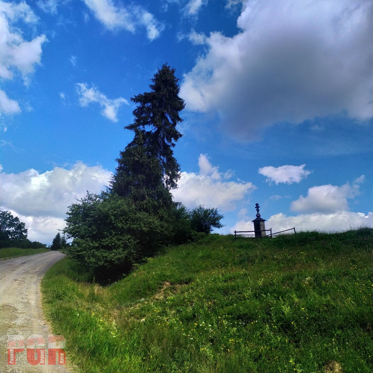
Low Beskids 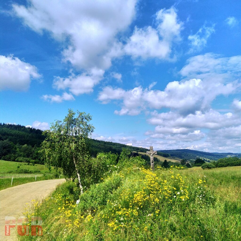
Low Beskids 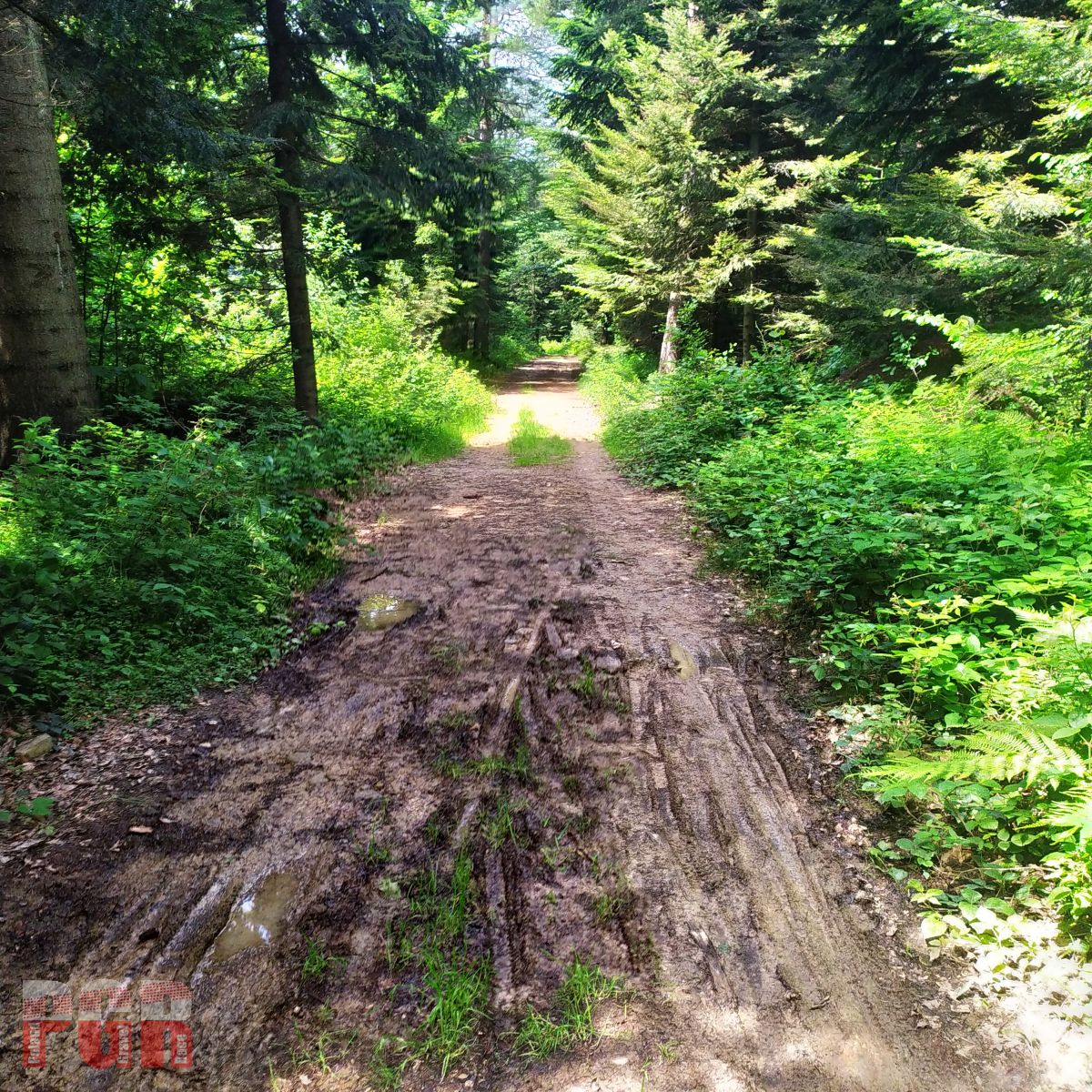
SS Hawran 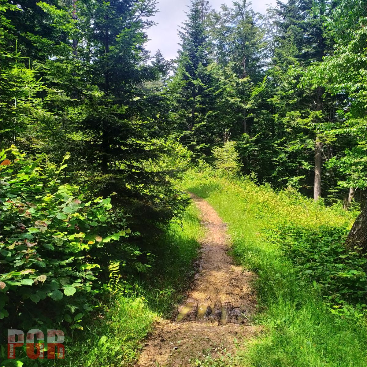
SS Hawran
Beskid Sadecki and Pieniny
However, we decided to lead the route through Krynica, which was the finish line of the first PGR edition. First of all, there will be an opportunity to resupply, secondly, the VeloKrynica trail, which will take us through the city and further to Muszyna, looks sensible, and thirdly, we avoid the bland and busy road through Tylicz and Powroźnik.
Noteworthy are the views from the Bacówka nad Wierchomla, to which a nice gravel road leads. Then we have a few kilometers of asphalt to Rytro, from where we start one of the longest on the route uphill to the Nursery Pass. Almost 12 kilometers to cover and 800 meters of elevation with an average gradient of 7%. At the pass itself, there is also a very nice view of the Tatras and Pieniny. If the driveway is hard, then there will be a place to rest later, because from the pass we have a 19-kilometer exit to Szczawnica.
The route continues along the Dunajec River to the Red Monastery in Slovakia. The path by the Dunajec can be crowded with pedestrians and cyclists. Be careful and where required – walk the bike. We return to Poland through the bridge in Sromowce Niżne and follow the trail of VeloDunajec to Niedzica almost all the time.
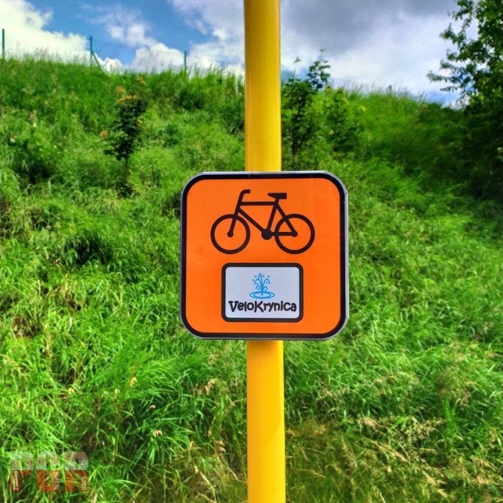
VeloKrynica 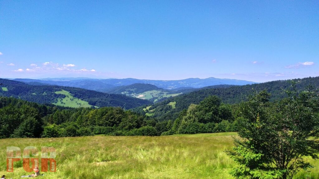
Wierchomla 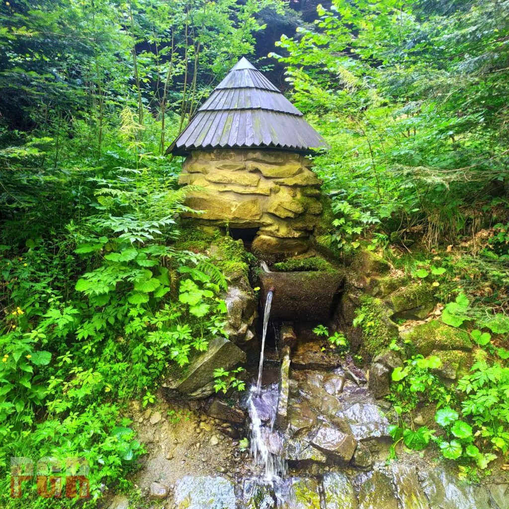
Spring by the way to Żłobki Pass 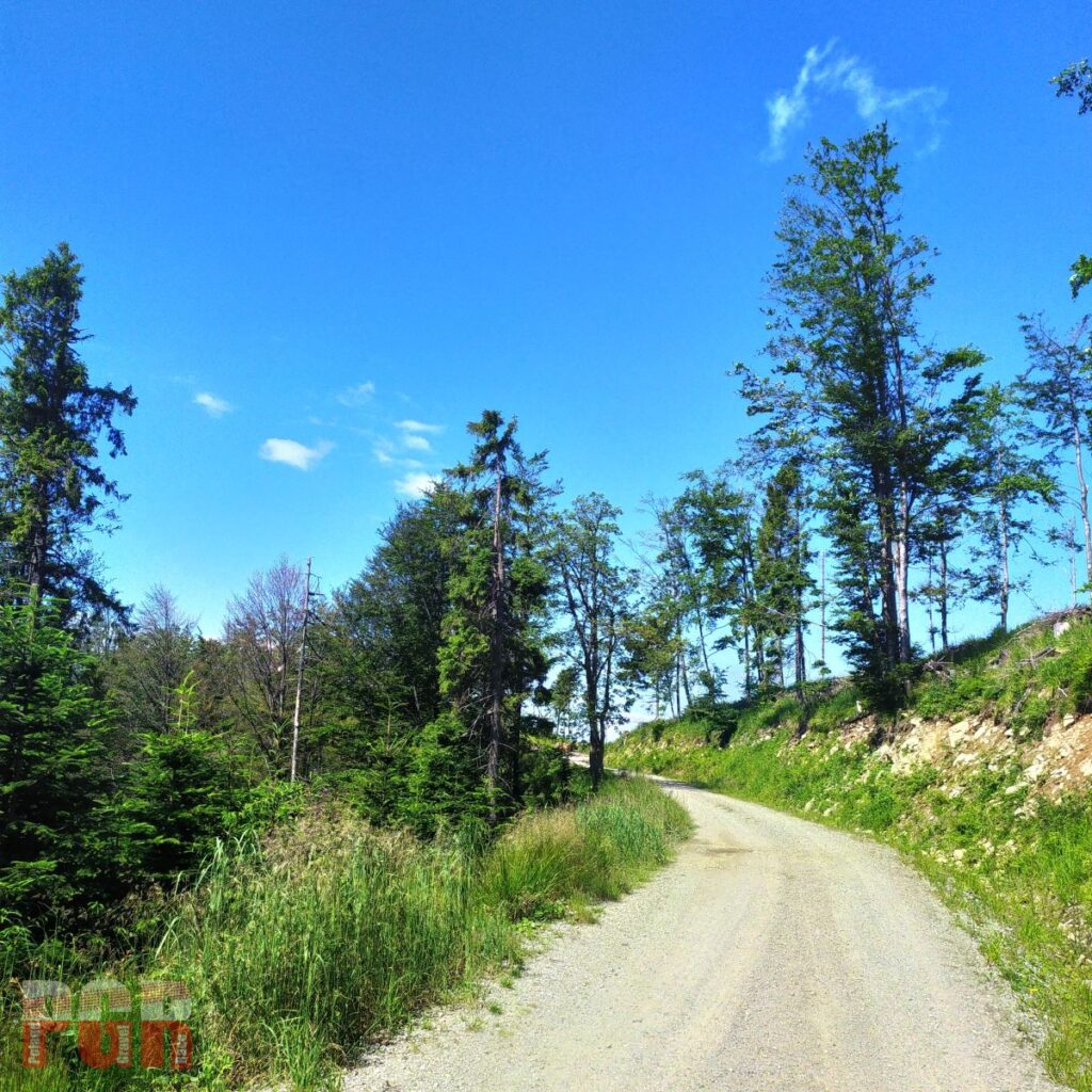
Climb to Żłobki Pass 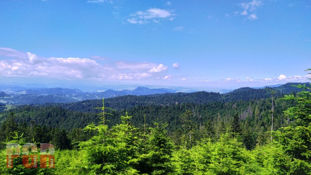
Żłobki Pass 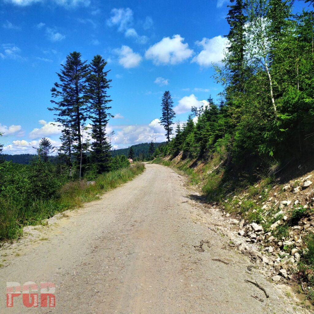
Żłobki Pass 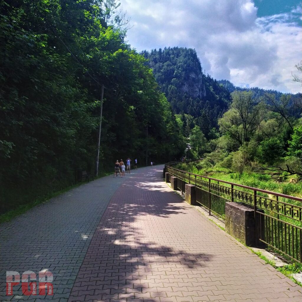
Along Dunajec 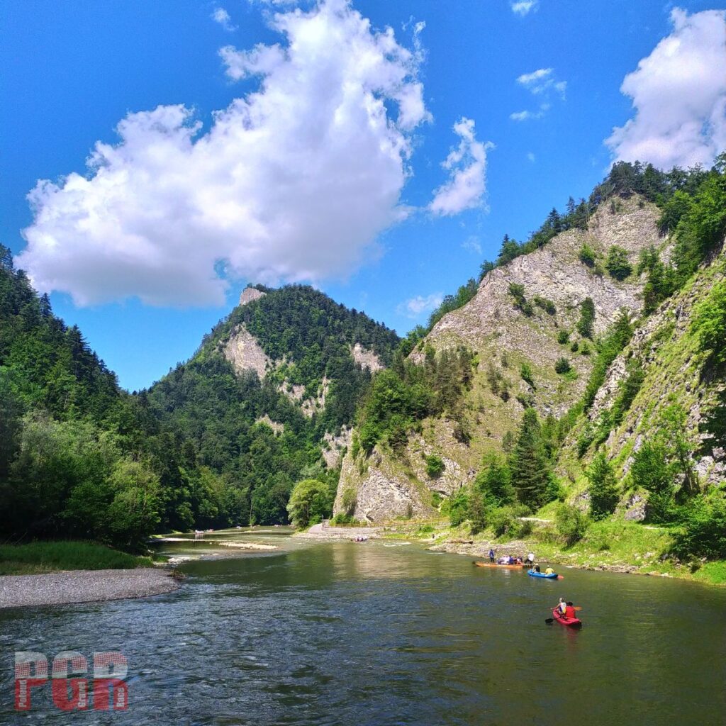
Dunajec gorge 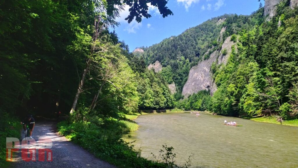
Dunajec gorge 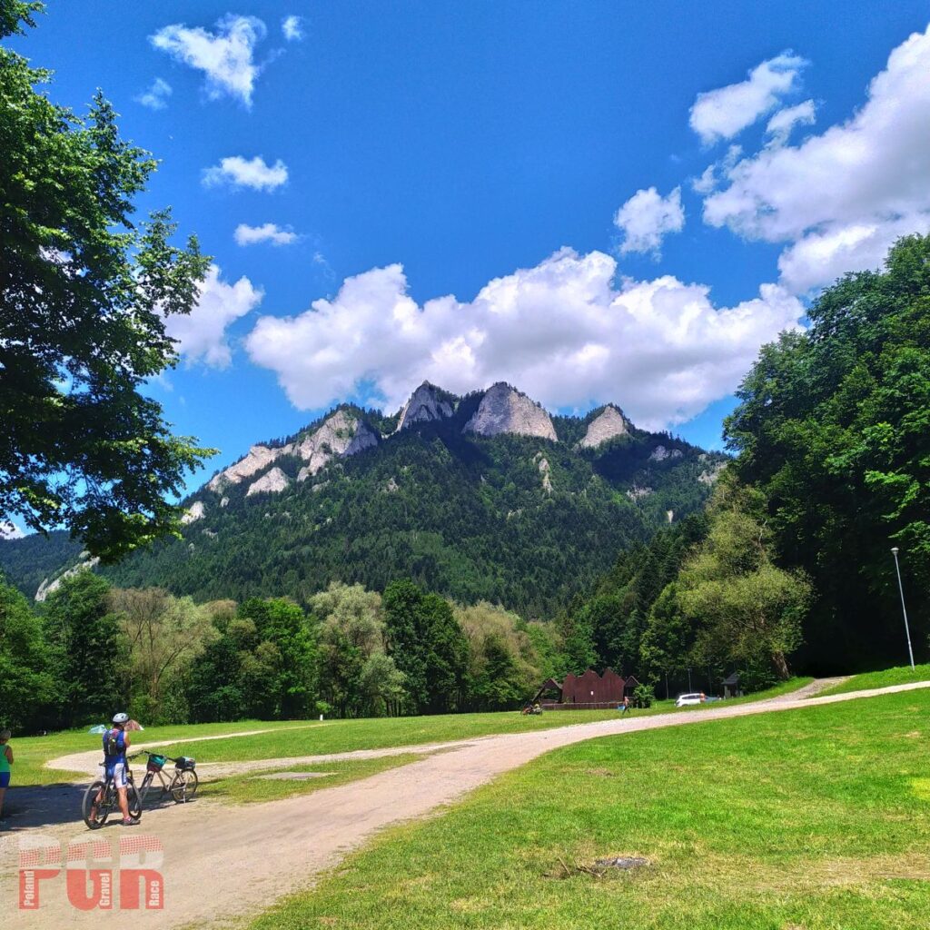
Three Crowns (Pieniny) panorama from Red Monastery
To finish line
We will reach Łapszanka climbing from Slovak village of Osturnia. Later on steep descend to Brzegi, where we start last climb to the scenic dirt road. Glodowka Chalet and finish line are just few cranks away.
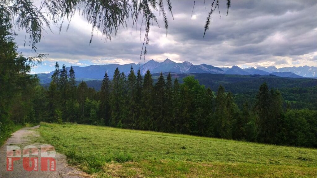
Tatras panorama from Łapszanka 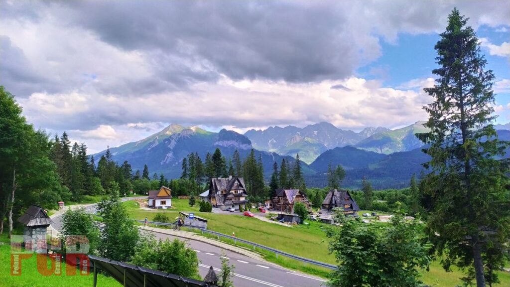
Tatras panorama from Głodówka
You must be logged in to post a comment.